
A Driving Tour
Serra de Sintra
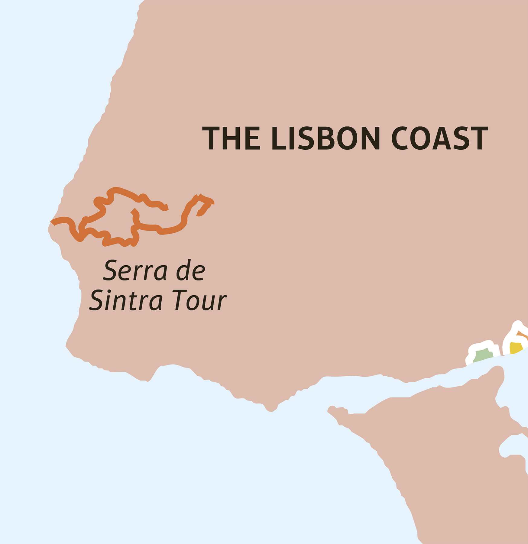
n Locator Map (for more detail see Area Map)
This round trip from Sintra follows a dramatic route over the top of the wooded Serra. The first part is a challenging drive with hazardous hairpin bends on steep, narrow roads that are at times poorly surfaced. It passes through dense forest and a surreal landscape of giant moss-covered boulders, with breathtaking views over the Atlantic coast, the Tagus estuary and beyond. After dropping down to the rugged, windswept coast, the route returns to small country roads, passing through hill villages and large estates on the cool, green northern slopes of the Serra de Sintra.
A Driving Tour Serra de Sintra
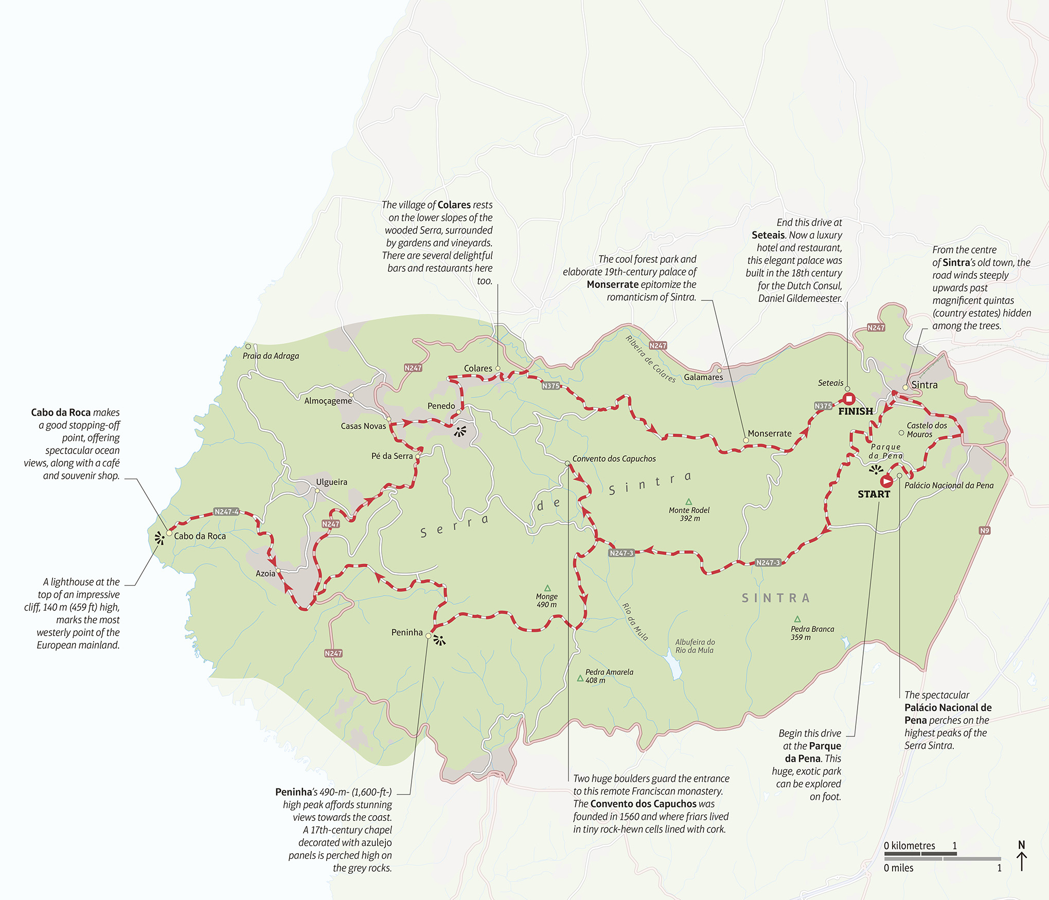
n Double-tap image to read the labels
Length 36 km (22 miles)
Stopping-off points Cabo da Roca; Colares
Terrain Mountainous in places, with steep, narrow roads