13 Navigating with Maps
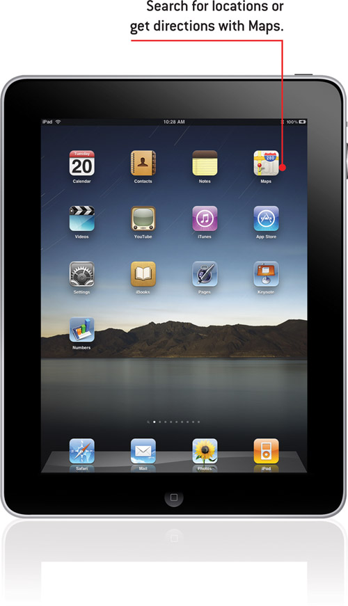
In this chapter, you learn to use the Maps app to find locations and get directions.
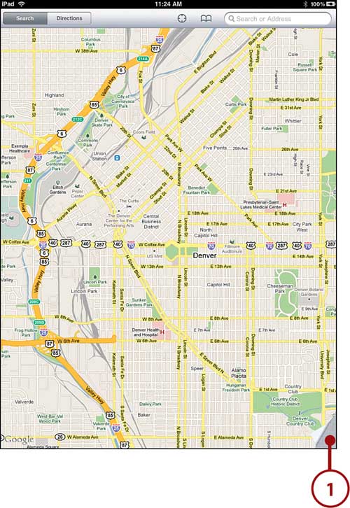
The Maps app is a great way to plan a trip—whether you’re going to the grocery store or across the country. Maps is basically an interface to Google Maps that gives you map and satellite views and street-level panoramic views and enables you to search for locations, get directions, and much more.
Finding a Location
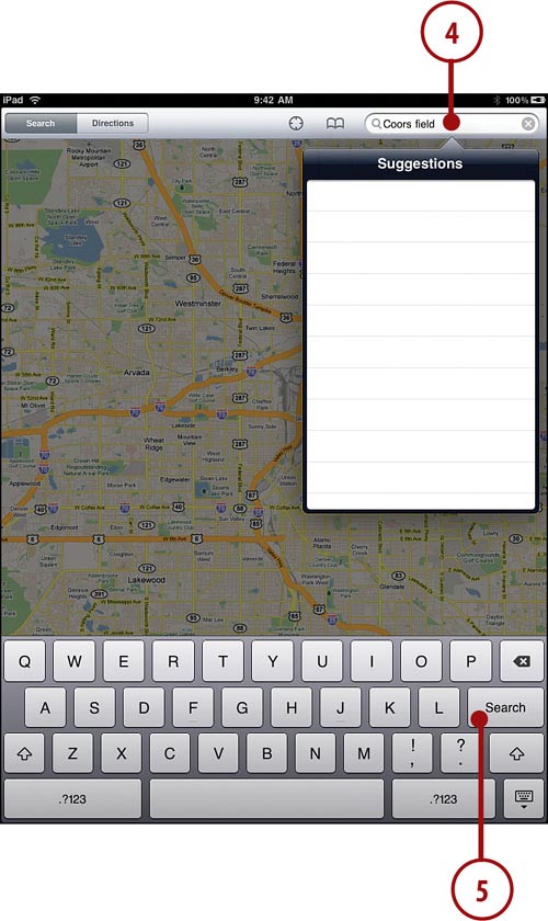
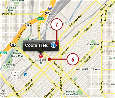
The simplest thing you can probably do with Maps is to find a location.

Searching for Places and Things
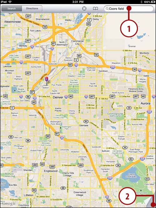
You can also use Maps to search for something that has more than one location. For instance, you could search for one location of your favorite computer store.


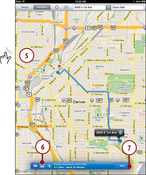
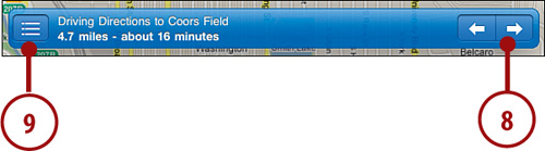
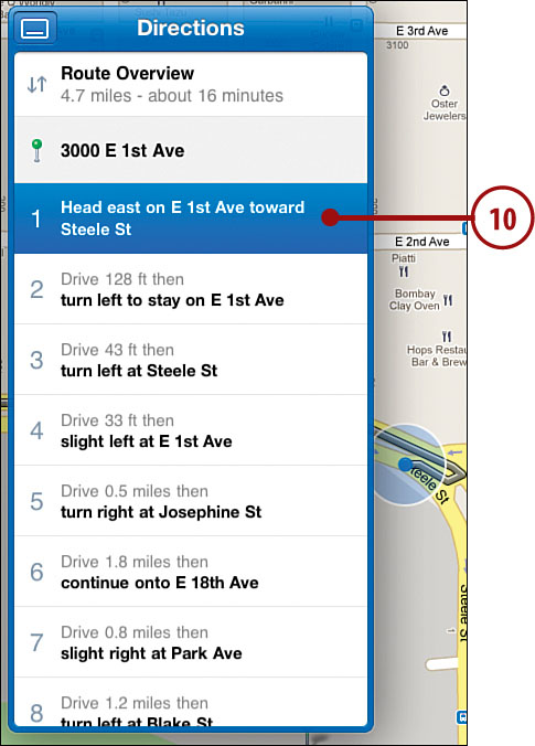
Getting Directions
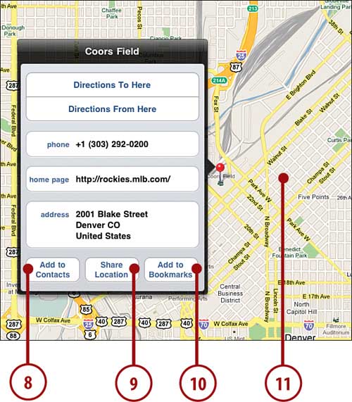
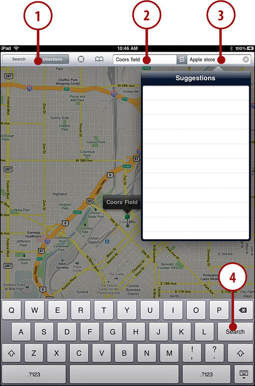
Although the Maps app is not the equivalent of some turn-by-turn GPS devices, it does offer detailed directions to get you from one point to another.
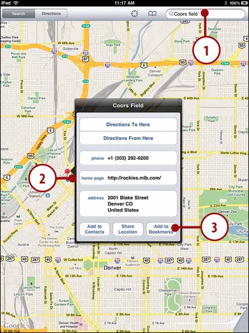
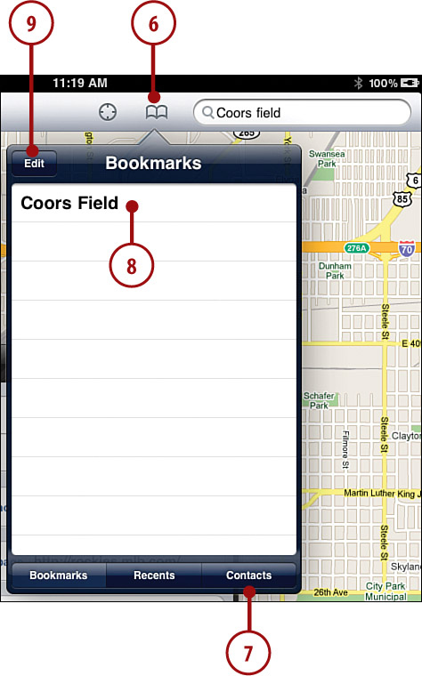
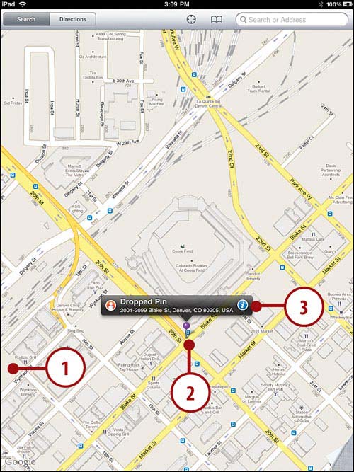
Setting Bookmarks
If you find yourself requesting directions to or from the same location often, you might want to set a bookmark for that spot.

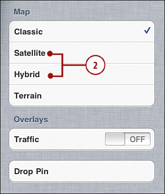
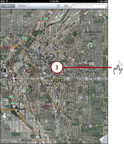
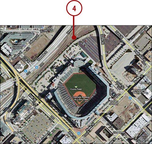
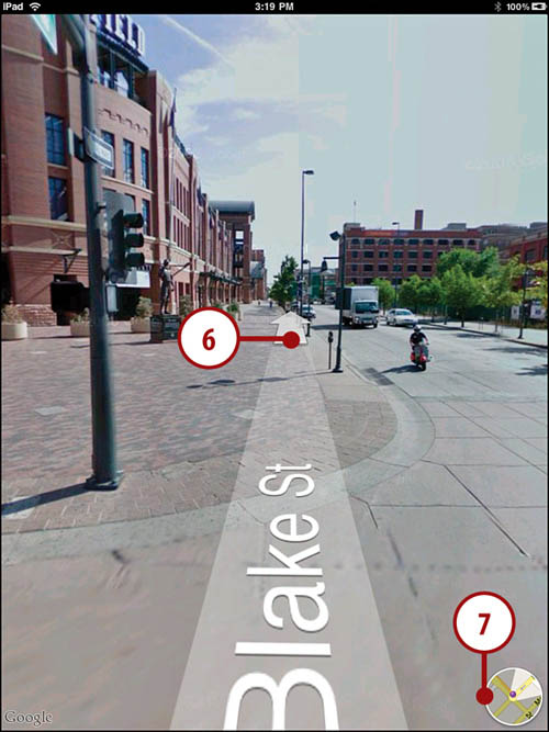
Using Views
One of the coolest things about online maps are the satellite and street views. Both are fun and helpful and a lot more interesting than a traditional map.


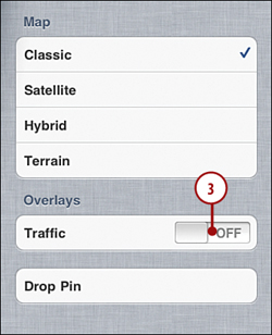
Getting Traffic Reports
Although Satellite views and Street view give you old photos, there is a way to get up-to-the minute data on your maps. For major cities you can get traffic information on your maps.