
Prediction of photovoltaic power generation output and network operation
Abstract
The high penetration photovoltaic power systems need to increase the power supply and demand balancing capability in electric power system. For the best use of balancing capability, highly accurate and reliable forecasting methods play a very important role in various time horizons from several hours-ahead to several days-ahead. An accurate and reliable forecasting method should be employed not only in power system but also in individual energy management system. According to the needs of forecasting in power system operations or individual system operations, various forecasting methods and resources such as numerical weather prediction (NWP) models, satellite images, all-sky images, and measured PV power output data, are available. The field of irradiance forecasting is rapidly evolving. This chapter describes a fluctuation characteristics of irradiance, a review of various forecasting methods for various time horizons ranging from a few minutes ahead to a day ahead, and application of forecasting method in power system and individual energy management system.
Keywords
4.1. Needs for forecasting photovoltaic (PV) power output in electric power systems


4.2. Power output fluctuation characteristics
 (4.1)
(4.1)4.2.1. Fluctuation characteristics of irradiance at single point
Table 4.1
Classification of Cloud Types
| Clouds | Type |
| High | Cirrus |
| Cirrostratus | |
| Cirrocumulus | |
| Mid | Altostratus |
| Altocumulus | |
| Nimbostratus | |
| Low | Cumulus |
| Stratus | |
| Cumulonimbus | |
| Stratocumulus |


4.2.1.1. Smoothing effect

 (4.2)
(4.2)4.2.2. Fluctuation characteristics of spatial average irradiance in utility service area


4.3. Forecasting methods
4.3.1. Overview


4.3.2. Accuracy measures
 (4.3)
(4.3)
 (4.4)
(4.4)
 (4.5)
(4.5)
4.3.3. NWP models

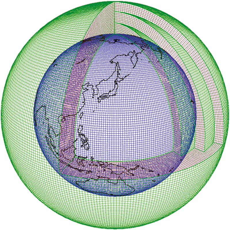
Table 4.2
Specifications of the JMA’s NWP models
| Specification | Global Spectral Model (GSM) | Mesoscale Model (MSM) | Local Forecast Model (LFM) |
| Forecast range | 84 h (00, 06, 18 UTC), 264 h (12 UTC) | 39 h (00, 03, —, 18, 21 UTC) | 9 h (hourly) |
| Number of horizontal grid points and/or grid spacing (no. of truncation wave) | 0.1875˚ [TL959] | 817 × 661 (5 km at 60˚N and 30˚N) | 1581 × 1301 (2 km at 60˚N and 30˚N) |
| Model domain | Globe | Japan and its surrounding areas | |
| Vertical levels | 100 levels up to 0.01 hPa | 50 levels up to 21.8 km | 60 levels up to 20.2 km |

4.3.3.1. Ensemble forecast of NWP models
4.3.3.2. Spatiotemporal interpolation and smoothing
4.3.3.3. Postprocessing by statistical model

4.3.3.4. Combination of different forecast models

4.3.4. Satellite cloud motion vector approach

4.3.5. All Sky images

4.3.6. Statistical models
4.4. Examples of forecasted results


4.5. Smoothing effect on forecast accuracy
4.6. Power system operation considering PV power output fluctuations

4.7. Energy management examples of smart house with PV
4.7.1. United States/Japan demonstration smart grid project in Los Alamos [27]

