A new type of Join, called an Intersect, is now available, and it was created especially for spatial files. You can find it in the Join configuration, highlighted as follows:

Intersects are useful when the only common field between the two tables is the spatial one. Tableau joins the data when there is a spatial intersection between a polygon and a point.
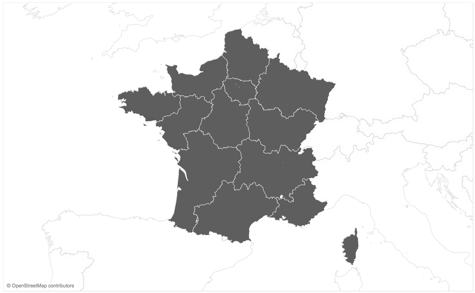
For example, let's look at how to join the two following shapefiles. The first one contains the polygons of the French regions:
The second one contains a list of ports around the world:

Let's create a spatial Join between the two spatial files, as follows:
- Open Tableau and connect to the first spatial file, contours-geographiques-des-nouvelles-regions-metropole.shp.
- Add a second spatial connection in the same Data Source (see Chapter 12, Advanced Data Connections, if you don't know how to create cross-database Joins), and choose the ne_10m_ports.shp file.
- Choose an Inner interest Join between the two tables, shown as follows:

- You can test your Data Source; the remaining French regions are the ones with ports, and the remaining ports are only French ones. If you create a Dual Axis map, you can show both the regions and the ports on the same map, as follows:

This is surely a great advancement for using spatial files in Tableau. Let's finish this section by looking at other Data Source improvements.